


Permian Basin, US
High-Resolution Seismic for Deeper Permian Plays
Pontiac 3D is TGS’ newest high-resolution seismic acquisition in the Permian Basin, built for horizontal development of the Spraberry and Wolfcamp and emerging deeper Barnett and Devonian plays. Multi-Parameter FWI and DeepInvert™ imaging sharpen reservoir characterization along the Midland Basin and Central Basin Platform margin.
Utica Basin, US
Utica Basin
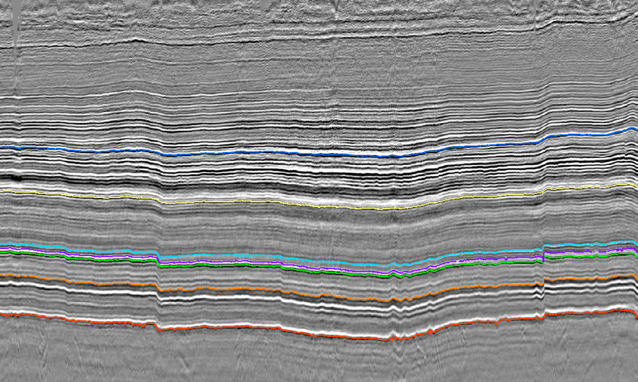
The Utica trend in the Appalachian Basin continues to be an area of growth for TGS as operators expand across the play. The TGS Utica Merge 3D provides the most extensive continuous modern seismic coverage of the rich liquids trend across eastern Ohio.
Williston Basin, US
Williston Basin
Anadarko Basin, US
Anadarko Basin
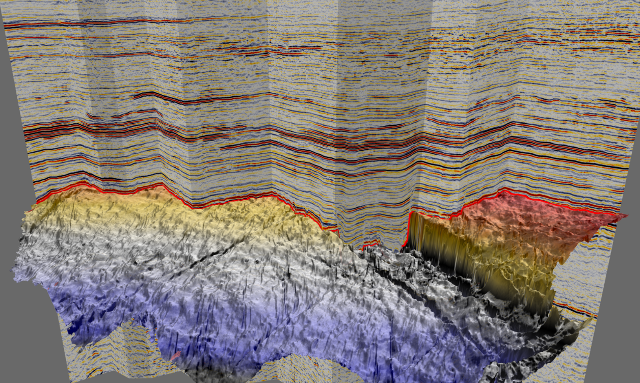
M&A is driving renewed investment in the SCOOP/STACK and Cherokee Granite Wash. TGS’ seismic footprint across the basin, helps operators navigate the evolving landscape and drill with confidence.

Western Canada Sedimentary Basin
Duvernay & Montney
Western Canada’s Montney and Duvernay liquids plays keep onshore activity vibrant, with operators focused on optimizing development drilling. TGS provides curated well data, production analytics and targeted land seismic across these key plays. The recent Dawson III 3D adds modern imaging, processed with Phase and AVO-compliant workflows, to the heart of the Montney.
North Slope, Alaska, US
North Slope Basins
TGS’ new Alaska Regional 2D-Cubed unifies legacy 2D and 3D seismic into one regionally consistent volume, enabling basin-scale screening from onshore North Slope plays to offshore Beaufort and Chukchi opportunities. Great Bear Merge 3D adds a seamless, FWI-reprocessed regional 3D framework.
Pontiac 3D is TGS’ newest high-resolution seismic acquisition in the Permian Basin, built for horizontal development of the Spraberry and Wolfcamp and emerging deeper Barnett and Devonian plays. Multi-Parameter FWI and DeepInvert™ imaging sharpen reservoir characterization along the Midland Basin and Central Basin Platform margin.
The Utica trend in the Appalachian Basin continues to be an area of growth for TGS as operators expand across the play. The TGS Utica Merge 3D provides the most extensive continuous modern seismic coverage of the rich liquids trend across eastern Ohio.
M&A is driving renewed investment in the SCOOP/STACK and Cherokee Granite Wash. TGS’ seismic footprint across the basin, helps operators navigate the evolving landscape and drill with confidence.
Western Canada’s Montney and Duvernay liquids plays keep onshore activity vibrant, with operators focused on optimizing development drilling. TGS provides curated well data, production analytics and targeted land seismic across these key plays. The recent Dawson III 3D adds modern imaging, processed with Phase and AVO-compliant workflows, to the heart of the Montney.
TGS’ new Alaska Regional 2D-Cubed unifies legacy 2D and 3D seismic into one regionally consistent volume, enabling basin-scale screening from onshore North Slope plays to offshore Beaufort and Chukchi opportunities. Great Bear Merge 3D adds a seamless, FWI-reprocessed regional 3D framework.