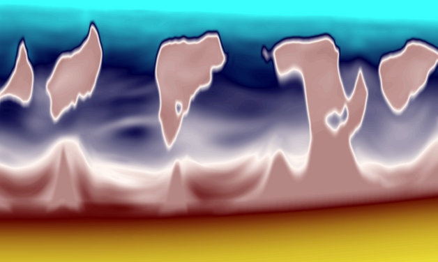
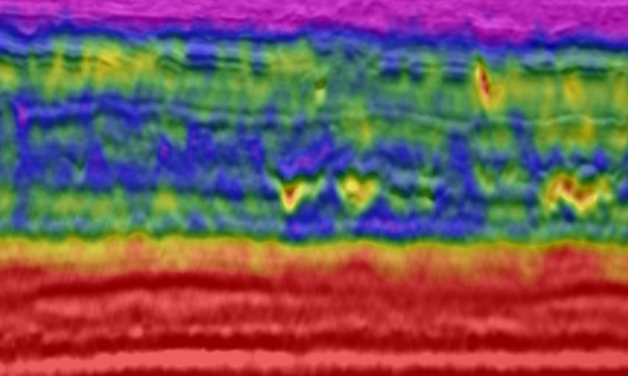
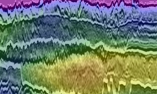
Dynamic Matching Full Waveform Inversion (DM FWI) produces high-resolution velocity models that incorporate the full seismic signal (diving waves and reflections) with a proven record with sparse OBN, shallow water OBN, streamer and land surveys.


.png?width=1200&length=1200&name=TGS%20-%20Full%20Waveform%20Inversion%20-%20FWI%20-%20Sparse%20OBN%20Acquisition%20(2).png)
.png?width=1200&length=1200&name=TGS%20-%20Full%20Waveform%20Inversion%20-%20FWI%20-%20Sparse%20OBN%20Acquisition%20(3).png)
.png?width=1200&length=1200&name=TGS%20-%20Full%20Waveform%20Inversion%20-%20FWI%20-%20Shallow%20Water%20OBN%20Acquisition%20(2).png)
.png?width=1200&length=1200&name=TGS%20-%20Full%20Waveform%20Inversion%20-%20FWI%20-%20Shallow%20Water%20OBN%20Acquisition%20(3).png)

.png?width=1200&length=1200&name=TGS%20-%20Full%20Waveform%20Inversion%20-%20FWI%20-%20NAZ%20Streamer%20Data%20(2).png)
.png?width=1200&length=1200&name=TGS%20-%20Full%20Waveform%20Inversion%20-%20FWI%20-%20NAZ%20Streamer%20Data%20(3).png)
.png?width=1200&length=1200&name=TGS%20-%20Full%20Waveform%20Inversion%20-%20FWI%20-%20NAZ%20Streamer%20Data%20(4).png)

-1.png?width=1200&length=1200&name=TGS%20-%20Full%20Waveform%20Inversion%20-%20FWI%20-%20Land%20Acquisition%20(2)-1.png)

Dynamic Matching Full Waveform Inversion (DM FWI) produces high-resolution velocity models that incorporate the full seismic signal (diving waves and reflections) with a proven record with sparse OBN, shallow water OBN, streamer and land surveys.