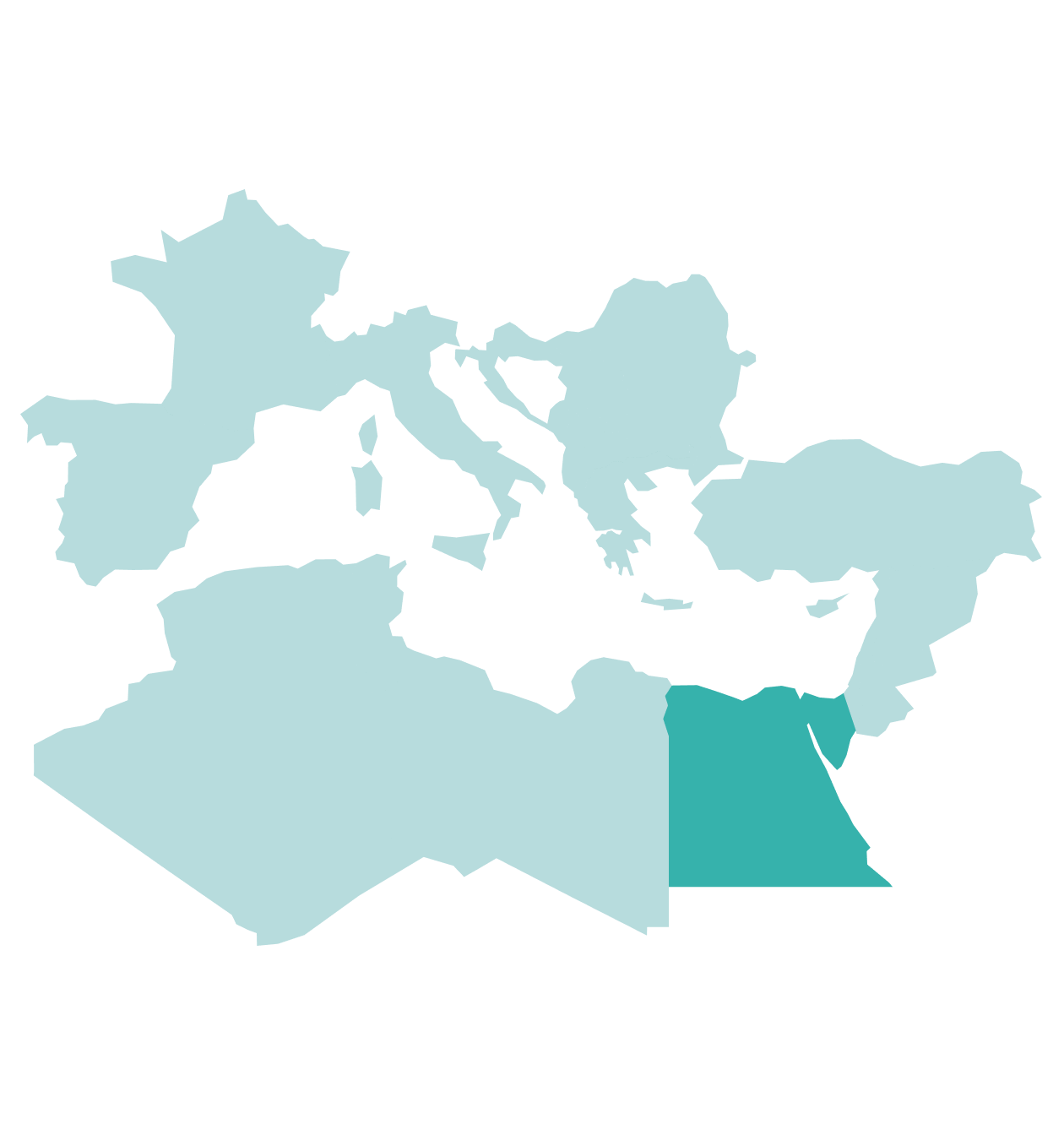
Egypt’s Mediterranean Sea offers significant offshore hydrocarbon potential, with proven Nile Delta reserves and frontier areas like the Herodotus Basin. A strong petroleum system, infrastructure, and recent finds like Nefertari-1 enhance its role in the Eastern Mediterranean energy landscape.


Why Egypt's Mediterranean Sea?
Egypt’s Mediterranean Sea is highly attractive for offshore hydrocarbon exploration due to its proven reserves in the Nile Delta alongside underexplored frontier areas. This region benefits from a well-established petroleum system, with high-quality reservoirs and source rocks that have consistently delivered commercial gas finds. The existing infrastructure of this energy hub, including pipelines and LNG export facilities, further enhances its appeal by providing a clear route to market for newly discovered resources.
The Herodotus Basin, located further west, represents a promising yet underexplored deepwater frontier with significant hydrocarbon potential. With recent licensing rounds attracting major international energy companies, the Herodotus Basin is gaining attention as a high-potential exploration target. Most recently, the successful Nefertari-1 well confirmed the potential of the offshore shelfal area. Future wells are expected to test other plays further into the basin.
Together, the Nile Delta and Herodotus Basin position Egypt as a key player in the Eastern Mediterranean’s evolving energy landscape. With a combination of proven fields and high-potential exploration zones, Egypt continues to attract investment from global energy companies.
Data Library
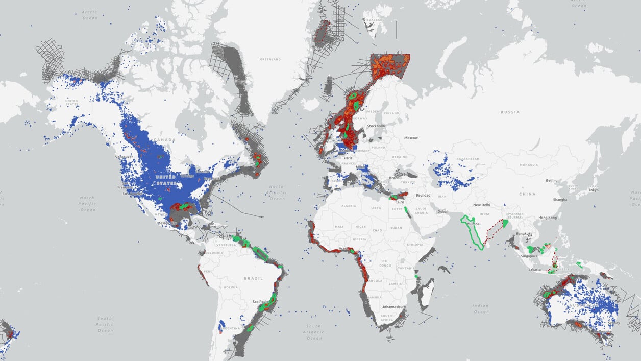
Search our interactive map portal to see the industry-leading subsurface data we offer in Egypt's Mediterranean Sea. View available data types, projects and deliverables in your areas of interest.

Data Availability
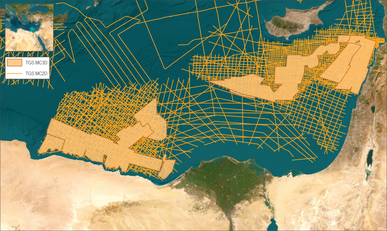
2D Seismic: Regional GeoStreamer 2D seismic data were acquired in two campaigns during 2016 and 2018, covering 7,300 km and 22,400 km, respectively. Additionally, 10,300 km of legacy 2D seismic data were reprocessed using modern depth imaging workflows. These datasets provide valuable insights into regional geology.
3D Seismic: Five GeoStreamer 3D seismic surveys were conducted between 2020 and 2021. Their final KPSDM full-stack volumes were merged into the Egypt Depth Merge, a 24,200 sq. km full-stack depth volume covering the shelf, transform margin, and parts of the basin and canyon systems.
In 2023 and 2024, three additional GeoStreamer 3D surveys were completed over open acreage: Merneith & Luxor (6,180 sq. km), Nefertiti (2,710 sq. km), and King Ramses (1,880 sq. km). The Merneith & Luxor survey focuses on the western Nile Delta, while the Nefertiti and King Ramses surveys target shelfal areas.
All surveys have undergone modern depth imaging workflows.

The Potential of Egypt's Mediterranean Sea
Offshore Egypt can be divided into distinct geological domains based on regional 2D seismic data: the Nile Delta, shelf, transform margin, Mediterranean Ridge and canyon systems.
Regional 2D seismic lines across the Nile Delta and Herodotus Basin clearly map deep-seated features like the Rosetta trend/fault, suggesting a potential geological link between the western region and the Nile Delta. Potential field data indicate that the Herodotus Basin is underlain by oceanic crust, with seismic imaging revealing sediment fill exceeding 15 km in some areas. Basin modeling based on regional 2D seismic suggests that Upper and Lower Cretaceous source rocks may have reached sufficient maturity to expel hydrocarbons.
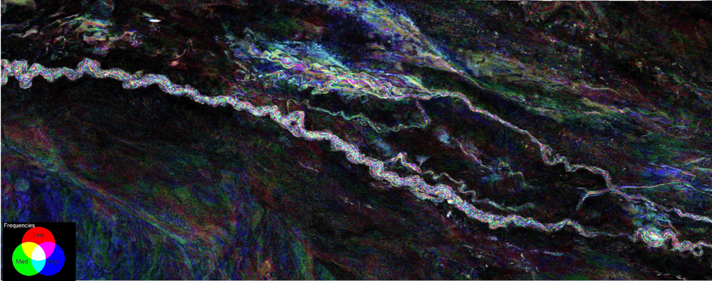
Advancements in 3D seismic imaging allow for more detailed structural mapping, refining potential traps and drilling targets. The extensive 3D seismic coverage highlights significant tectonic and geological variations from east to west. Messinian evaporites thicken in this direction, transitioning from halite-dominated salt in the west to more compositionally complex evaporites in the east. The transform margin also widens westward, with increasing deformation. Additionally, certain areas feature complexities such as canyon systems and low-density mud/shale extrusives.
This diverse geology supports multiple potential plays. In deeper water basins, the primary targets are likely Oligo-Miocene clastic reservoirs within stratigraphic-structural traps. In shelfal areas, Jurassic and Cretaceous clastic reservoirs in structural traps are the most promising, a play recently proven viable by the successful Nefertari-1 well.

Speak to a Specialist
Interested in a product demo or trial? Let us know your needs and we’ll connect you to the right person or team.
Book a Data Viewing
Want to see the latest seismic data solutions and imaging technologies in your region of interest or for the next license round? Book a data viewing with one of our experts.
Discuss Your Seismic Data Needs
Every need is different and we'd like the opportunity to discuss yours further. Speak to one of our data or geoscience experts to customize seismic solutions specific to your requirements.

