Industry-Leading Seismic Data Using Robust Technology and Imaging Solutions
For more than 40 years, we have been providing seismic, interpretation products and services, and geological data through an innovative mix of geoscience expertise, innovative technology and imaging capabilities
Data Library
Future-Ready Seismic for Smarter Exploration. A vast global library that accelerates exploration, enhances subsurface insight, and refreshes vintage volumes with today’s imaging power.
Search our interactive map portal to see the industry-leading subsurface data we offer worldwide. View available data types, projects and deliverables in your areas of interest.
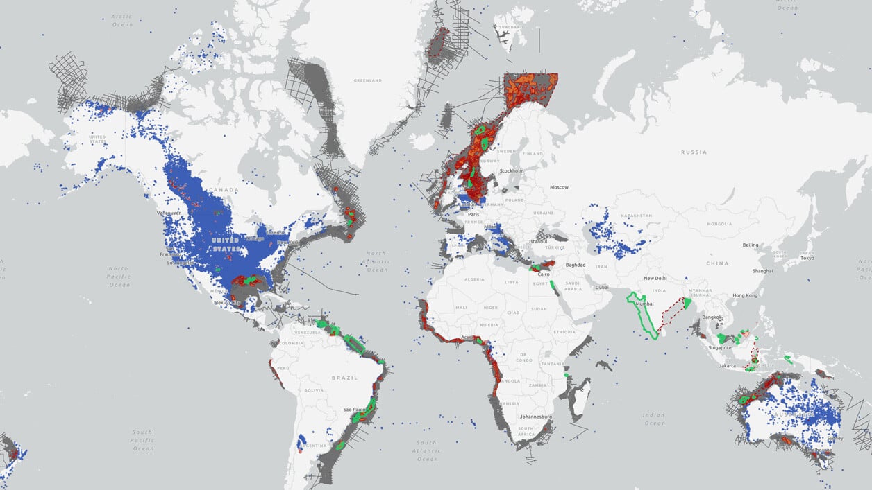
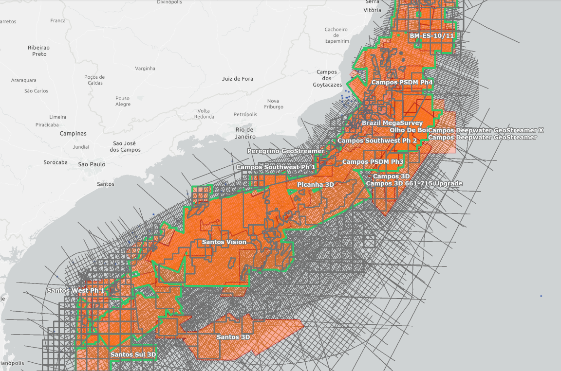
Exploration Hotspots
Stay up to date with a data library that accelerates the path to discovery.
Access geological insights from key basins around the world. View the latest high-potential regions and let us enable you to evaluate opportunities faster and make informed decisions earlier in the exploration cycle.
Multi-Client Data Per Region
TGS follows regional and country market trends and business environments when seeking out new investment opportunities. You can explore TGS regions below.
-
North America
-
Latin America
-
Africa, Mediterranean and the Middle East
-
Asia Pacific
-
Europe
North America
We provide industry-leading seismic data using an innovative mix of technologies and unmatched imaging capabilities. Through strategic partnerships, we offer a comprehensive collection of advanced acquisition technologies for enhanced reservoir delineation, characterization and monitoring. In the Gulf of Mexico, we offer ultra-long offset OBN data to help exploration companies find new sub-salt resources close to existing infrastructure.
Latin America
Latin America holds some of the world’s largest oil reserves, with many countries in the region supplying their products to a global market. TGS follows regional and country market trends and business environments when seeking out new investment opportunities. Our exploration programs are most often built around country-specific licensing rounds and are designed to provide regional geological understanding, using products including 2D seismic, basin-wide 3D seismic, well data packages, and various interpretive products using all datasets available.
Africa, Mediterranean and the Middle East
Africa continues to present extraordinary oil and gas exploration opportunities, and our unrivaled subsurface data library provides the perfect tool to realize those possibilities. Through our close work with government and regulatory organizations, we endeavor to provide valuable insight into license opportunities in both underexplored and mature basins. Evaluate license round blocks and bid with confidence with quality subsurface data coverage. In the Mediterranean and the Middle East, we continue to seek new opportunities to provide exploration insight through strategic seismic coverage and next-generation solutions.
Asia Pacific
With a strong history of supporting exploration in the Asia Pacific, we are proud to offer the most extensive portfolio of high-quality integrated regional products and data sets in the area to assist with licensing rounds and work programs. Through an innovative and collaborative approach, we have set the standard for geoscientific data in the region that includes seismic, well data, regional interpretative products, and magnetic and gravity data to help create a complete picture of the subsurface for oil and gas exploration decisions.
Europe
Europe's largest modern subsurface database covering both frontier and infrastructure-rich areas. We have been at the forefront of seismic exploration in Norway, the UK, and Greenland, offering a wide range of subsurface insight. We continue to evolve within a maturing market that requires next-generation data solutions, such as dense OBN and other bespoke acquisition solutions. In the North Sea, we offer the world’s most extensive contiguous coverage of dense ocean bottom node (OBN) data complemented by a substantial well log database and unique, well-respected interpretive products such as our facies map browser (FMB), widely used in the industry.
Marine Acquisition
TGS helps derisk hydrocarbon exploration, offshore wind farm developments and carbon storage projects using core seismic technology such as our Ramform vessels and GeoStreamer receivers. We also offer ultra-high-resolution 3D (UHR3D), ocean bottom nodes (OBN), 4D imaging, multiphysics and hybrid streamer-node surveys.
Seismic acquisition demands precision, reliability and accountability. With decades of global experience across OBN and streamer campaigns, we deliver to spec and schedule - safely, efficiently, and without surprises. You shape the scope. We deliver.

Imaging and Processing
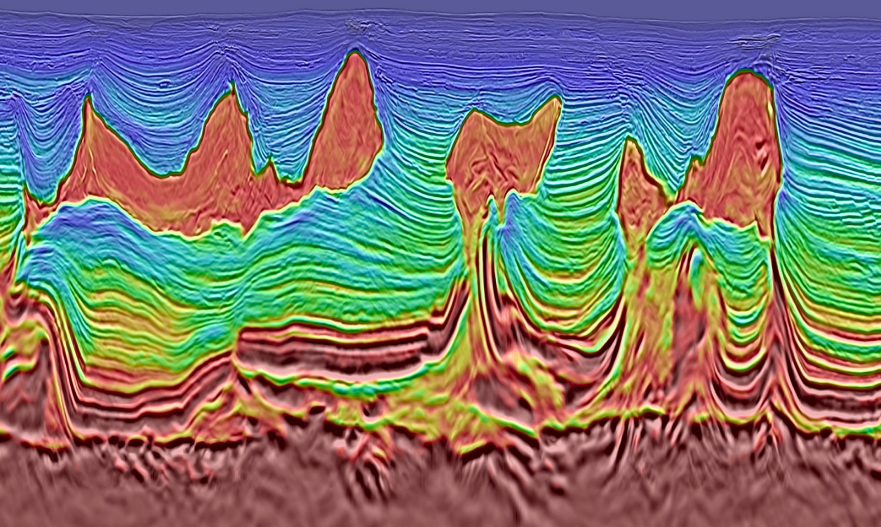
Our imaging toolbox shrinks the gap between planning and decisions, with a collaborative approach that keeps you in control.
To meet the challenges of today's energy industries, our research and development professionals are continually developing new technology and workflows for seismic imaging, as well as enhancing existing ones. We have the technology, expertise and resources to exceed the highest geophysical processing objectives, powered by our proprietary Imaging AnyWare imaging software.
Subsurface Interpretation
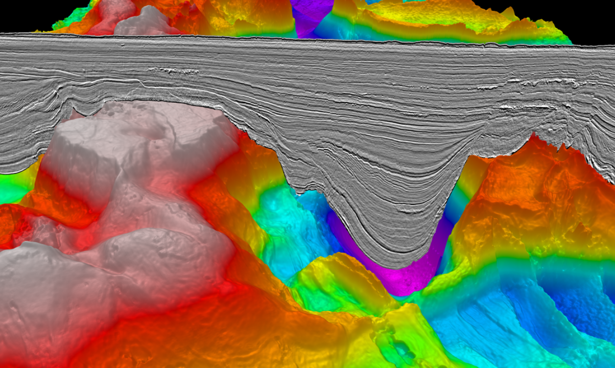
Access to a huge global database of well and seismic data, combined with technical expertise, allows for an accurate and insightful regional interpretation of the datasets. Specialist 2D and 3D grids and interpretations are available to help fast-track the understanding of the basin.
Industry Updates Newsletter
Sign up for our daily Industry Updates e-newsletter to receive the most recent insights into competitive operator strategies and drilling trends, along with breaking news from the industry. Explore our Weekly Spotlight series every Friday for expert analysis and valuable perspectives from TGS' subject matter experts on the industry's current landscape.
Additional Insights
TGS Expands Multi-Client Data Library Offshore Mauritania with Over 101,000 sq. km of 3D Data
16 April 2025 - TGS is pleased to announce the significant expansion of its multi-client data library offshore Mauritania, with the addition of over 101,500 square kilometers of high-quality 3D seismic data.
Ametista Block - An Unusual Prospect in Santos Basin - Albian Atoll upon Exhumed Mantle
6 Mar 2025 - In this Technical Article TGS experts present a new, distinctive prospect in the southern portion of Santos Basin, constituted a possible Albian atoll developed upon exhumed mantle.
Charting a New Course for Marine Seismic
17 Apr 2025 - In an interview with Upstream, TGS' Chief Executive Officer, Kristian Johansen, provides an outlook on the marine seismic business and how the sector can finally escape the drama of decades of boom and bust cycles.
Speak to a Specialist
Interested in a product demo or trial? Let us know your needs and we’ll connect you to the right person or team.
Book a Data Viewing
Want to see the latest seismic data solutions and imaging technologies in your region of interest or for the next license round? Book a data viewing with one of our experts.
Discuss Your Seismic Data Needs
Every need is different and we'd like the opportunity to discuss yours further. Speak to one of our data or geoscience experts to customize seismic solutions specific to your requirements.

