Malaysia


Why Malaysia?
According to PETRONAS, over 1 billion barrels of oil equivalent were discovered in 19 successful exploration wells in 2023. In recent years, the Malaysian government, guided by Malaysia Petroleum Management (MPM), has made the investment landscape more attractive by introducing tailored terms for deepwater assets, late-life assets, and small fields. Malaysia is also taking a balanced approach to the energy transition, aiming for net zero by 2050 with gas promoted as a transition fuel to displace coal.
The ongoing bid round process reflects Malaysia’s openness to new investment. The upcoming 2025 round includes five exploration blocks plus three Discovered Resource Opportunity (DRO) clusters, announced in January. Meanwhile, carbon capture and storage (CCS) opportunities are being evaluated. Offshore Malaysia comprises three main areas at different stages of exploration and development, offering significant prospects for future discoveries.
Data Library
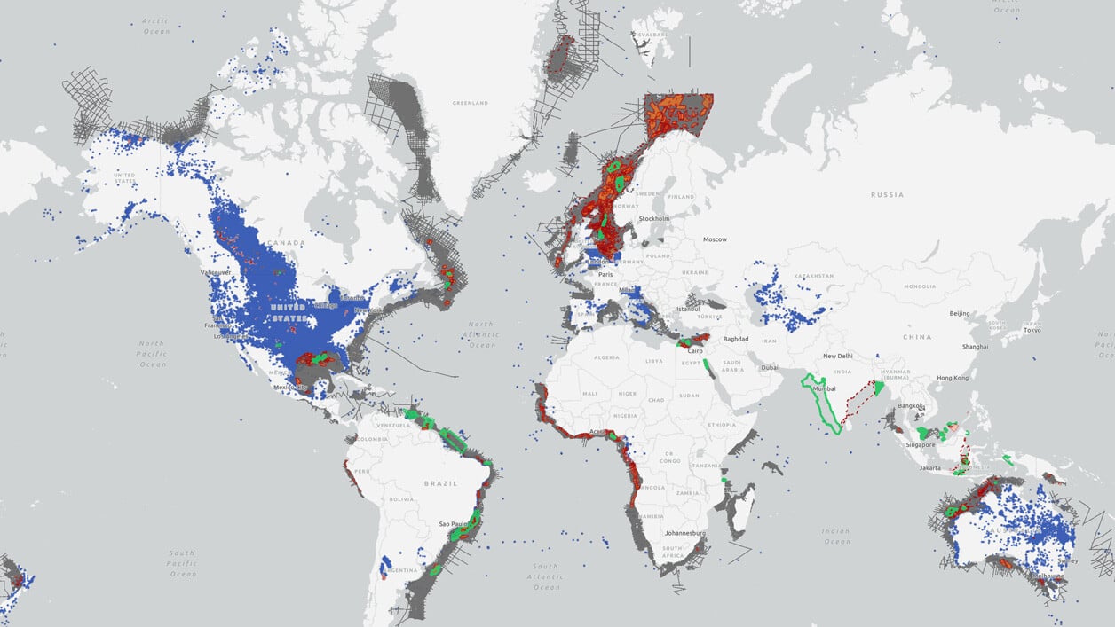
Search our interactive map portal to see the industry-leading subsurface data we offer in Malaysia. View available data types, projects and deliverables in your areas of interest.

Our Data
TGS maintains an extensive and continuously expanding database covering Malaysia's diverse offshore regions, aiming to enhance exploration and development activities.
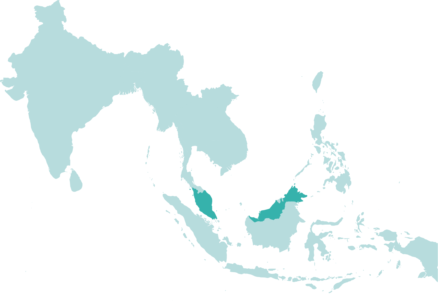
Peninsular Malaysia: TGS has a data library consisting of 44,431 square kilometers as part of a regional mega-merge project and 276 kilometers of 2D seismic. This project delivers a seamless, contiguous volume of modern 3D processing across the Malay basin. The products include broadband pre-stack time and depth migration products, serving as an exploration framework for extending viable play fairways to surrounding areas and drilling and developing opportunities - from subtle accumulations that have been overlooked to deeper untested targets.
Sarawak: The area is covered by 29,000 square kilometers of 3D seismic formed in separate phases of processing and acquisition. A consortium of TGS, PGS, and SLB deliver this project. The Sarawak multi-client 3D seismic project is a multi-phase program promoting exploration efforts in the prolific Sarawak East Natuna Basin (Deepwater North and West Luconia Province). Work continues on this project as new phases are added and processing projects are completed and inserted into the database.
Sabah: TGS offers 8,199 kilometers of 2D seismic data and 49,747 square kilometers of 3D seismic data coverage in the Sabah area; recent acquisition processing and reprocessing projects are also ongoing, fully supporting the 2024 license round.
Penyu: TGS offers 7,838 square kilometers of 3D seismic data in the Penyu Basin, an emerging frontier in Southeast Asia with strong potential for new exploration plays and carbon capture and storage (CCS). In partnership with MPM and joint venture partners, we plan a state-of-the-art Geostreamer multi-client 3D acquisition program to drive exploration in this promising region.
.png?width=1256&height=752&name=TGS%20Seismic%20Data%20Example%20-%20Malaysia%20(1256%20x%20752).png)
.png?width=1256&height=752&name=TGS%20Seismic%20Data%20Example%20-%20Malaysia%20-%20Natuna%20(1256%20x%20752).png)
The Geology of Malaysia
Malaysia is segmented into three primary regions known as the Peninsula, Sarawak, and Sabah, each with unique geological features and exploration potential.
Peninsular Malaysia: The most prolific of these regions, a classic tertiary rift basin with hydrocarbon accumulations at numerous stratigraphic levels. It is comprised of a complex of half grabens that were filled by lacustrine shales and continental clastics. Gas mature due to greater sediment depths in the center with oil fields on the flanks is sourced from lacustrine shales and Miocene deltaic coals. It is trapped primarily in anticlines formed by the inversion of the half-grabens during the late Miocene. However, declining production in recent years near field exploration and maximizing production from the existing and undeveloped field is a key focus. The Penya basin to the south of Peninsular Malaysia is less explored and has considerable remaining potential.
Sarawak: The reservoir in the Sarawak area consists mainly of tertiary clastic and carbonate targets. Source rocks in the area are oil and gas-prone coals, with the larger discovered volumes coming from gas discoveries. Sarawak experienced a good year in 2023 with 15 discoveries in the area. Existing infrastructure could lead to swift development for some of these newly-discovered resources.
Sabah: The smallest of the regions regarding existing production, could hold the most potential; as this area is geologically complex, high-quality reprocessing and new acquisitions are crucial to unlocking the potential. Miocene carbonates and shallower clastic targets are relatively underexplored in this area. New data and ongoing license activity could be vital to unlocking the potential.
Speak to a Specialist
Interested in a product demo or trial? Let us know your needs and we’ll connect you to the right person or team.
Book a Data Viewing
Want to see the latest seismic data solutions and imaging technologies in your region of interest or for the next license round? Book a data viewing with one of our experts.
Discuss Your Seismic Data Needs
Every need is different and we'd like the opportunity to discuss yours further. Speak to one of our data or geoscience experts to customize seismic solutions specific to your requirements.

