Gulf of America
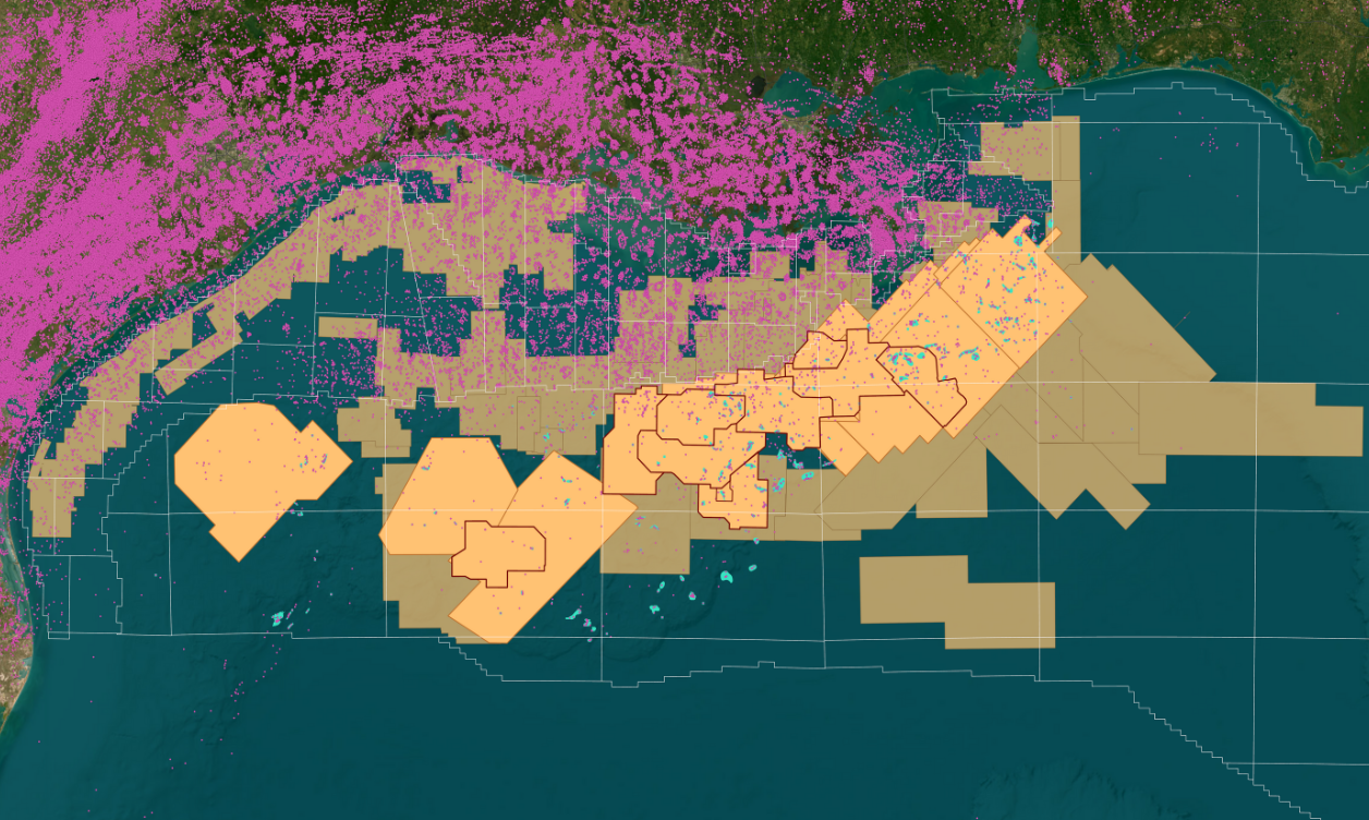
We offer a wide variety of industry-leading energy data and insights that span the entire Gulf of America, including ultra-long offset node 3D surveys, 2D regional surveys, well log data and more to support industry needs in this highly prospective area.

Recent Coverage in Gulf of America
Laconia III
- 151 OCS blocks (KC)
- Ultra-long offset node survey utilizing Sercel’s TPS LFS
- Combined with the underlying Stagseis & Viridien TL-FWI processing
- In cooperation with Viridien
Amendment IV
- 49 OCS blocks (MC/EW/GIS)
- Ultra-long offset node survey utilizing TGS’ Gemini EFS
- Combined with the underlying WAZ & DM FWI processing, these data provide step change in subsalt imaging
Amendment I and II EFWI
- 212 OCS blocks - completed July 2025 (MC/AT)
- Ultra-long off-set node survey
- Combined with the underlying WAZ & DM FWI processing, these data provide step change in subsalt imaging
Engagement Phases I-V
- OBN programs covering the majority of Green Canyon (GC)
- In cooperation with SLB
Data Library
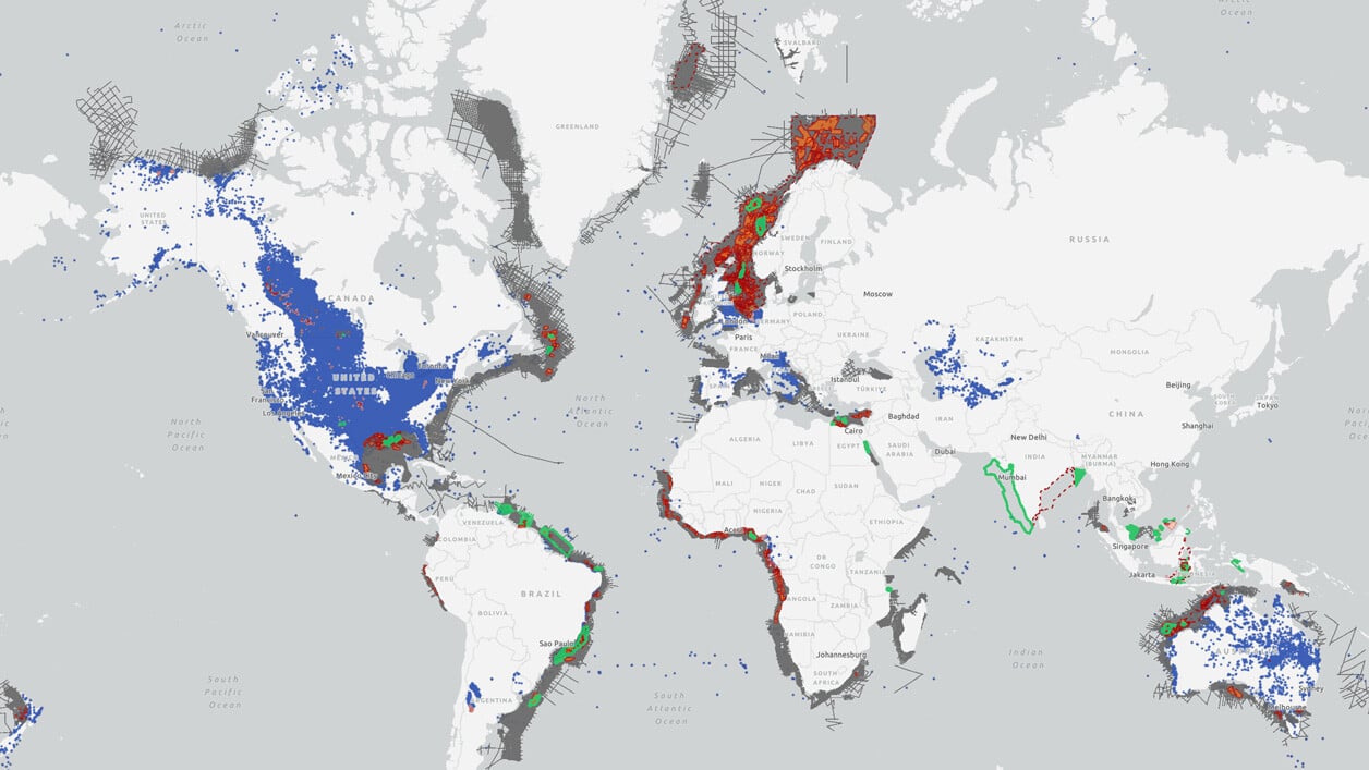
Search our interactive map portal to see the industry-leading subsurface data we offer in Gulf of America. View available data types, projects and deliverables in your areas of interest.

GoA Lease Sale 262
The Bureau of Ocean Energy Management has been instructed to proceed with Lease Sale 262, in accordance with a decision by the 5th U.S. Circuit Court of Appeals. Set to take place in December 2025, the sale will make over 80 million acres in the Gulf of Mexico available for offshore oil exploration and development.

.png)
Well Data
TGS has the industry's largest well data library comprised of nearly 100 years of public and non-public sources. This data is processed, normalized, and validated to our industry-leading standards with the most up-to-date data available.

