TGS’ integrated Ultra High-Resolution 3D (UHR3D) and High-Resolution services deliver detailed near-surface insight for safer drilling, confident engineering decisions and more efficient offshore oil and gas development.
Reduce Risk Before Drilling Begins
TGS site characterization provides the seabed and shallow subsurface insight needed to plan safer, more efficient drilling operations. By identifying shallow gas, seabed hazards and debris, and assessing soil strength and seabed conditions, operators can:
Support rig stability and safer operations
Optimize well design and placement
Reduce costly delays and unexpected issues
Meet regulatory and environmental requirements
UHR3D & HR3D
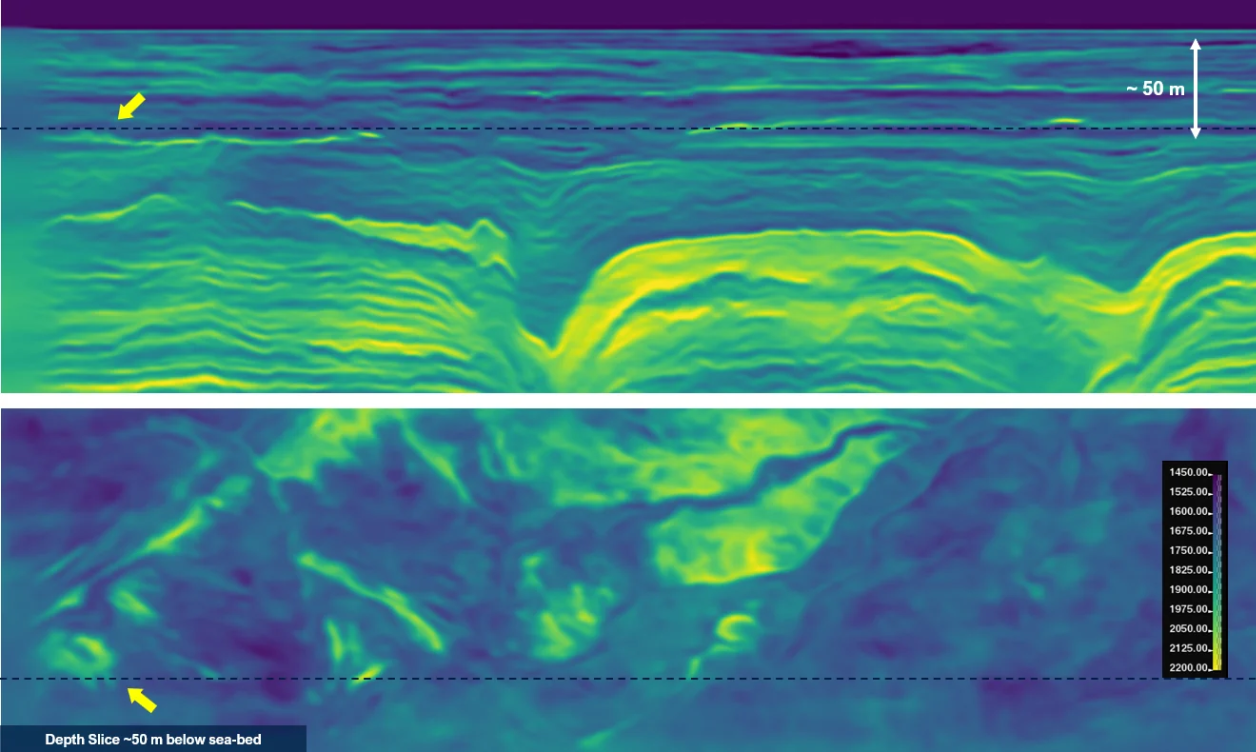
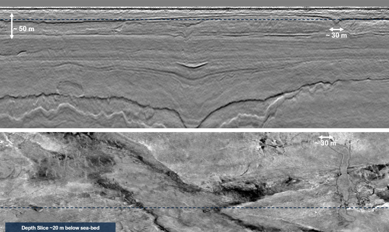
TGS’ unique Ultra High-Resolution 3D (UHR3D) solution delivers the detail needed to resolve complex geological features and reduce uncertainty in early-stage planning. The technology benefits multiple offshore energy sectors, including hydrocarbon exploration and appraisal, wind farm development, and carbon storage. Using a wide-tow configuration with ultra-high-frequency sources, the technology
TGS site surveys provide reliable, high-resolution imaging of shallow-water seabed and near-surface features at a scale of a few meters. This detailed insight improves project planning, reduces technical and financial risk, and supports safer, more efficient offshore oil and gas development.
Improve near-surface imaging Gain higher-resolution, broader-bandwidth data with improved signal-to-noise performance in ultra-shallow settings.
Strengthen site characterization Develop a detailed understanding of seabed and shallow subsurface conditions to support drilling and infrastructure planning.
Identify drilling hazards earlier Detect shallow gas, seabed risks and other near-surface hazards before operations begin.
Support safer well planning Inform well placement, top-hole design and rig positioning with more reliable subsurface insight.
Reduce risk, cost and delays Improve decision-making early, reduce reliance on extensive geotechnical investigations and minimize costly changes during project execution.
Let’s Discuss Your Acquisition Needs
With the industry’s most diverse fleet and integrated expertise, from survey design and acquisition to seismic data imaging, TGS delivers trusted, tailored solutions for complex exploration challenges.
Learn More About Our Fleet
Discover the capabilities, configurations and proven performance of our diverse fleet. Built for reliability and efficiency, our vessels are ready to meet your exploration needs, anywhere in the world.
Start the Conversation
Every project is different. Talk to a TGS expert about your specific acquisition requirements. With decades of trusted experience and integrated capabilities, we’ll help you design the right solution from the start.