Why Somaliland?
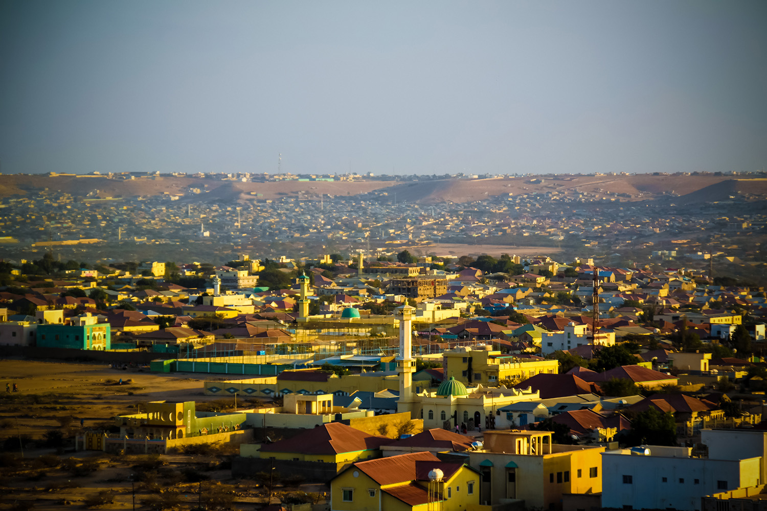
Exploration activity is still opening new frontiers in East Africa, and the Republic of Somaliland is one such frontier that has garnered interest in recent years. The relatively untested nature of the area (very few wells have been drilled and none recently), and its proximity to other oil-producing areas make Somaliland an interesting proposition.
Our Data Coverage
Our Data
We offer seismic, gravity, and magnetic data covering both shallow water and deep water areas.
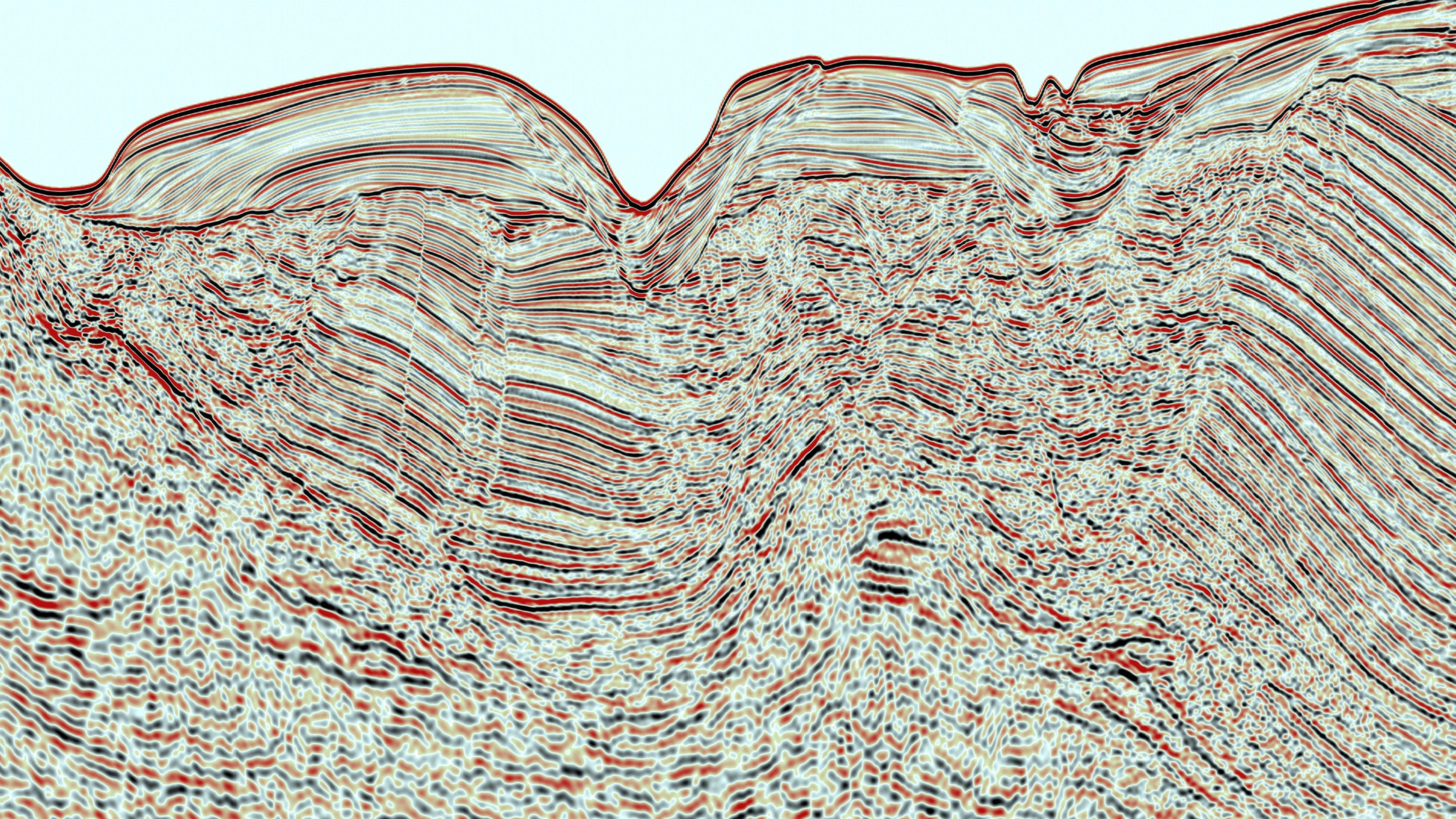
In addition, we offer a unique multiclient 2-D survey that covers 5,324 line km offshore Somaliland with a focus on the Gulf of Aden. This data was designed to define the principle structural elements of the area and allow for the mapping of leads, plays, and structural highs for further investigation.
A total of 34,693 line km of aeromagnetic data has also been acquired by TGS, covering a large regional area. This data allows explorers an initial glimpse into regional geology and prospectivity. It has been used to map sedimentary basin morphology and interpret the location of sedimentary basins, depth to basement, and identify faults and structures.
Eleven well logs are also available onshore and offshore Somaliland.

Speak to a Specialist
Interested in a product demo or trial? Let us know your needs and we’ll connect you to the right person or team.
Book a Data Viewing
Want to see the latest seismic data solutions and imaging technologies in your region of interest or for the next license round? Book a data viewing with one of our experts.
Discuss Your Seismic Data Needs
Every need is different and we'd like the opportunity to discuss yours further. Speak to one of our data or geoscience experts to customize seismic solutions specific to your requirements.


