Barents Sea
TGS has more than 35 years of experience in acquiring and processing seismic data in the Barents Sea and led the way in frontier exploration that has resulted in significant discoveries, such as the Wisting Field in the Hoop Fault Complex. We continue to test new technologies, including P-Cable, TopSeis, EM, and seep analysis.

Data Coverage in the Barents Sea
Greater Castberg 3D
- 5,168 km² 3D multi-client seismic data
- Covers the Polheim Terrace
- Enhanced imaging of the Johan Castberg Field and exploration targets in the Bjørnøyrenna Fault Complex
- Topseis™ Split-spread
Hoop Fault Complex 3D
- Over 22,000 km² 3D multi-client seismic data
- Multi-vintage database reprocessed into a seamless, high-resolution volume
- P-Cable seismic application
- Clari-Fi de-ghosting
- Covers the Hoop Fault Complex
Hammerfest Basin 3D
- 4,172 km² 3D multi-client seismic data
- Coverage across the Western Barents
- Geostreamer technology
Finnmark Platform 3D
- 6,490 km2 3D multi-client seismic survey
- Continuous Pre-Stack Time Migration (PSTM) dataset Clari-Fi reprocessed in 2017.
- Area contains the recent Lupa gas discovery near the Goliat field
- Provides new insight into the Palaeozoic potential with links to the Nordkapp basin and covers an area of the Finnmark platform with sand potential from the Norwegian Side
Carlsen 3D
- 5,754 km2 3D multi-client seismic dataset
- Processed with Clari-Fi and Pre-Stack Time migrated (PSTM)
- Provides high-quality data 3D coverage for the underexplored Senja Ridge and Veslemøy high areas
- The majority of the project is already in the APA area and subject to the proposed blocks in the APA23 hearing round; the entire survey is within APA
SW Barents 3D
- 14,153 km2 3D multi-client seismic data processed in 2017
- Covers Stappen High, Sørvestnaget Basin, and the Bjørnøya basin containing the Pingvin Upper Cretaceous/Paleocene gas discovery
- Close proximity to the Johan Castberg development to the East
- Provides the opportunity to understand the pull-apart basins from Veslemøy High to Stappen
- Partially in the APA area, further blocks have been proposed within this survey in the APA23 hearing round
Data Library
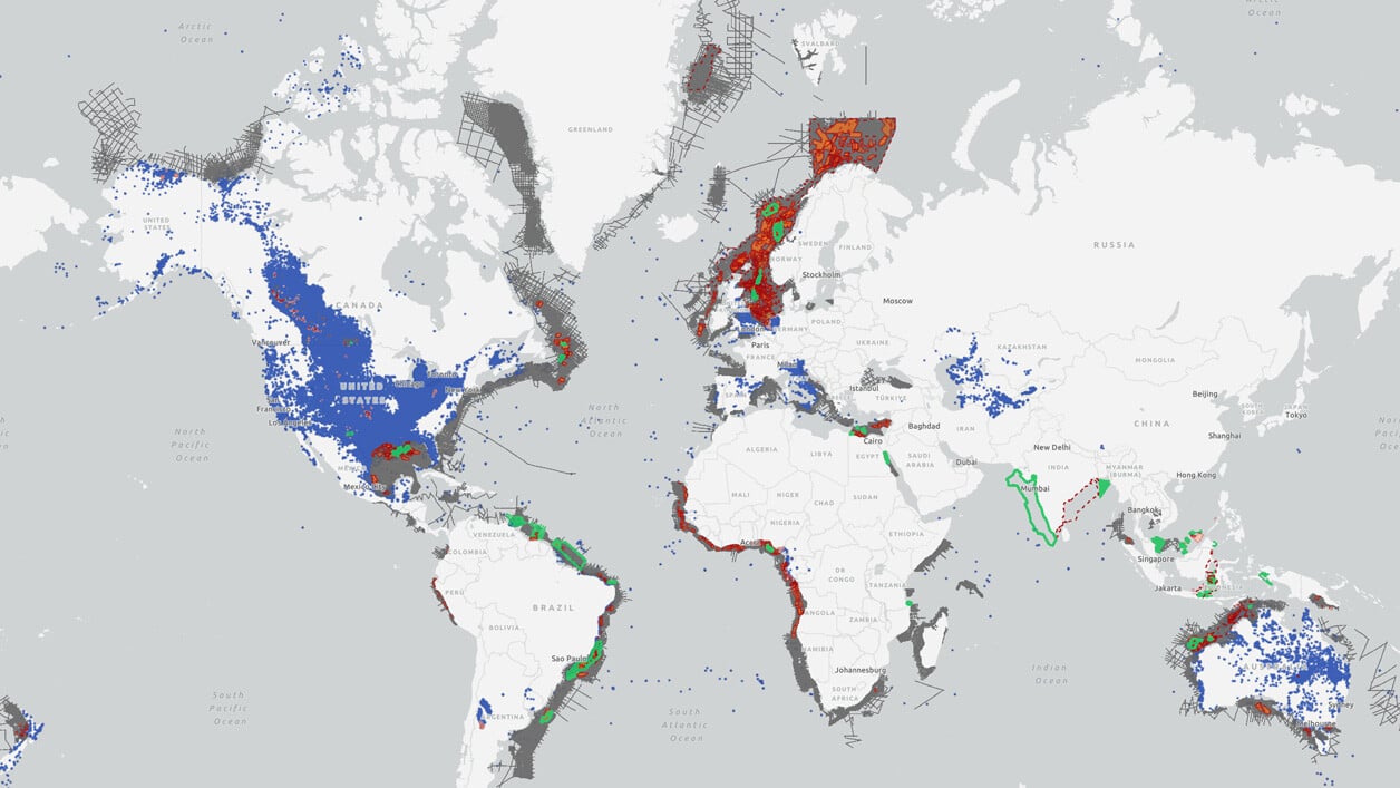
Search our interactive map portal to see the industry-leading subsurface data we offer in the Barents Sea. View available data types, projects and deliverables in your areas of interest.

Other Sub-Regions
-
Norwegian Sea
-
North Sea
-
West of Shetlands
-
Greenland
Norwegian Sea
Norwegian Sea
TGS has led the way in seismic exploration in the Norwegian sea, particularly along the Atlantic Margin. Since 2017 TGS has acquired around 60,000 km2 of high-quality 3D data in the underexplored Møre and Vøring basins.
TGS is a world leader in developing techniques for better imaging of the volcanic basins and intra- and sub-basalt targets through our Sub-basalt Imaging Research (SIR) project and AM20 Laboratory.
North Sea
North Sea
The North Sea has been the center of many dramatic seismic advances over the years. TGS continues to innovate in the area with the world’s largest contiguous dense Ocean Bottom Node OBN dataset, providing the most detailed subsurface imaging on a grand scale.
West of Shetlands
West of Shetlands
West of Shetland has recently become the center of exploration and development on the UK Continental Shelf (UKCS) and, by 2025, is expected to contribute significant UKCS production.
Greenland
Greenland
Since the 1990’s TGS has worked with government authorities to promote this region. In 2007 the focus shifted towards Northeast Greenland and culminated in the Multi-Year acquisition programs on behalf of the licensed operators.
The area is highly relevant for understanding the Norwegian margin. Excellent source and reservoir rocks can be used as analogues for offshore observations.

