Canada
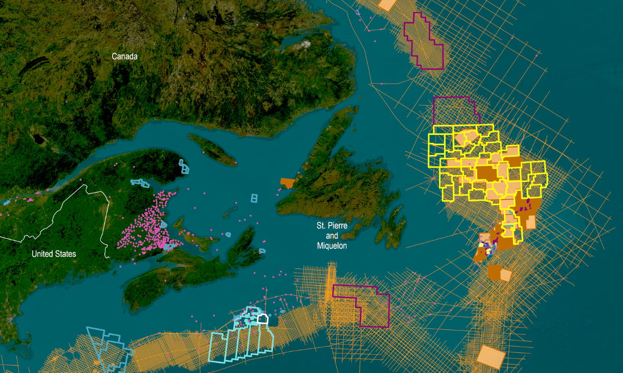
We provide access to high quality data ahead of offshore licensing rounds to enable informed investment decision making, including long-offset broadband 2D and 3D seismic data, interpretation studies, and well data.

Our Data Coverage
Cameron Canyon
- 6,700 km²
- Acquired in 2022
- Located over the 2023 South Eastern Newfoundland Call for Bids
Cape Anguille
- 9,936 km² in the Orphan Basin
- Acquired in 2021
- Located over the 2023 Eastern Newfoundland Call for Bids
Jeanne d’Arc
- 3,660 km² in central Flemish Pass Basin
- Acquired in 2019/2021
- Located over high valued Exploration Licenses
Tablelands and North Tablelands
- 12,500 km² in eastern Orphan Basin
- Acquired in 2018/2019
- Located over 2023 Eastern Newfoundland Call for Bids
Torngat
- 3,290 km² in southern Labrador Sea
- Acquired in 2019
- Located over the upcoming Labrador South Call for Bids
E. Flemish Pass
- 5,000 km² in prolific Jeanne d'Arc basin
- Acquired in 2017/2018
- Located over exploration Licenses, significant discovery licenses, and open acreage
Long Range
- 9,100 km² in eastern Orphan Basin
- Acquired in 2017
Located over 2023 Eastern
Newfoundland Call for Bids
Regional 2D
- Over 270,000 km offshore Newfoundland & Labrador
- Acquired between 1998 to 2003, 2011 to 2019
- Located over all recent and upcoming Call for Bids areas
Data Library
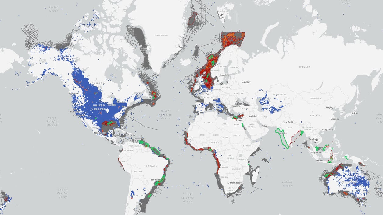
Search our interactive map portal to see the industry-leading subsurface data we offer in Canada. View available data types, projects and deliverables in your areas of interest.


East Coast Canada Newfoundland 2024 Call For Bids
TGS holds the most comprehensive collection of subsurface data covering acreage being offered in the Newfoundland bid-round areas. This data includes 2D and 3D seismic data, interpretation studies and well data.
Well Data
TGS has the industry's largest well data library comprised of nearly 100 years of public and non-public sources. This data is processed, normalized, and validated to our industry-leading standards with the most up-to-date data available.
.png)
Other Subregions
-
Gulf of Mexico
-
U.S. Onshore
Gulf of Mexico
Gulf of Mexico
We offer a wide variety of industry-leading energy data and insights that span the entire Gulf of Mexico, including ultra-long offset node 3D surveys, 2D regional surveys, well log data and more to support industry needs in this highly prospective area.
U.S. Onshore
U.S. Onshore
TGS provides industry-leading seismic data using an innovative mix of technologies and unmatched imaging capabilities. Through strategic partnerships, we offer a comprehensive collection of advanced acquisition technologies for enhanced reservoir delineation, characterization and monitoring.

