

-
Barents Sea
-
Norwegian Sea
-
North Sea
-
West of Shetlands
Barents Sea
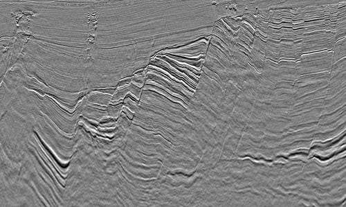 Barents Sea
TGS has more than 35 years of experience delivering seismic data in the Barents Sea and led the way in frontier exploration, resulting in significant discoveries, such as the Wisting Field in the Hoop Fault Complex.
Our modern 3D data coverage includes new acquisition and processing technologies such as P-Cable, TopSeis, Electromagnetic, and seep analysis.
Norwegian Sea
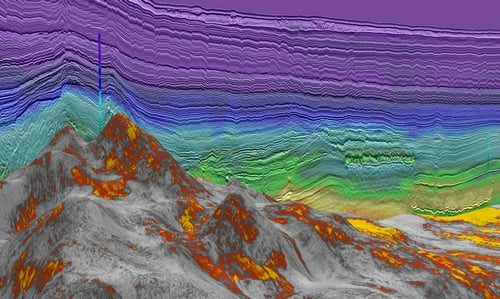 Norwegian Sea
TGS has led the way in seismic exploration in the Norwegian sea, particularly along the Atlantic Margin. Since 2017 TGS has acquired around 60,000 km2 of high-quality 3D data in the underexplored Møre and Vøring basins.
TGS is a world leader in developing techniques for better imaging of the volcanic basins and intra- and sub-basalt targets through our Sub-basalt Imaging Research (SIR) project and AM20 Laboratory.
North Sea
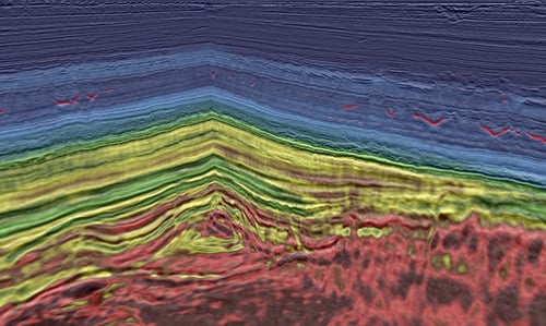 North Sea
The North Sea has been the center of many dramatic seismic advances over the years.
TGS continues to innovate in the area with the world’s largest contiguous dense Ocean Bottom Node OBN dataset, providing the most detailed subsurface imaging on a grand scale.
West of Shetlands
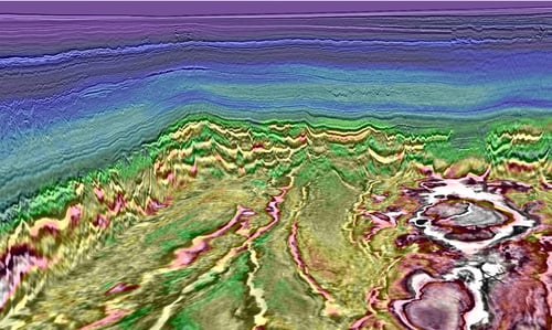 West of Shetlands
West of Shetland has recently become the center of exploration and development on the UK Continental Shelf (UKCS) and, by 2025, is expected to contribute significant UKCS production.