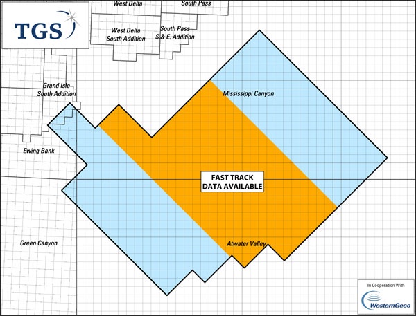
Asker, Norway (5 March, 2009) - TGS-NOPEC Geophysical Company (TGS) announced today that it, in conjunction with co-operation partner WesternGeco, has resumed data acquisition on the Freedom Wide Azimuth multi-client project in the Mississippi Canyon area of the Gulf of Mexico utilizing a higher capacity operation that includes two recording vessels, each towing 10 streamers.
Covering approximately 15,000 square kilometers, Freedom is the one of the largest wide azimuth programs in the world. Data acquisition originally commenced in January of 2008, but had been temporarily interrupted since October of 2008. Located in a highly prolific area in the Gulf of Mexico, the well-funded project is currently 50% complete, and field operations are on schedule for completion in August 2009. TGS has delivered preliminary products to participating oil companies.