Ultra-high-resolution 3D (UHR3D) imaging of the subsurface is achieved by sampling the seismic wavefield at a high spatial and temporal rate. TGS offers robust processing and imaging workflows for a highly-detailed understanding of near-surface properties.

TGS_website_UHR3D (1)

P-Cable 860x484

Accurate Characterization of the Subsurface

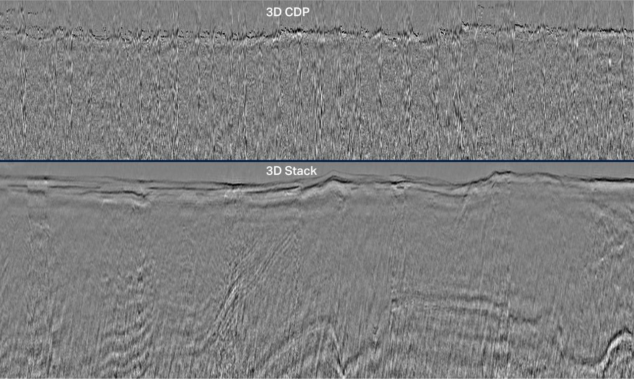
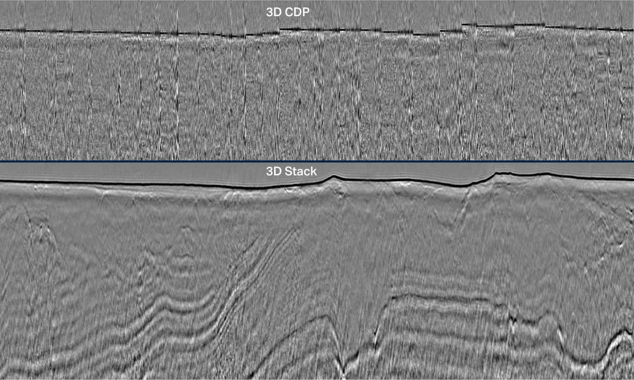
TGS offers UHR3D seismic acquisition to support high-resolution understanding of the shallow subsurface. Ultra-high resolution 3D (UHR3D) technology captures fine-scale detail using short streamers, shallow tow depths, and high-frequency sources. This approach is ideal for identifying near-surface features critical to offshore wind development, including geohazards, soil variability, and buried obstructions.

UHR3D Deghosting

Receiver deghosting for UHR data is a challenging problem due to the required resolution of the image and the relatively moderate signal to noise ratio. The problem is made more difficult with inaccurate navigation, shallow cable towing and variable sea-state. TGS' deghost solution solves these issues by tracking and deconvolving the ghost in the (τ-p) domain.                                             

3-Aug-01-2025-10-18-11-7655-PM
Input
4-Aug-01-2025-10-18-26-2111-PM
After receiver deghosting
Before Image After Image
Before correction
After correction

Statics Correction

Statics correction compensates for variations in source and receiver elevation due to operational and environmental causes. This process is key for UHR3D imaging as contributions from multiple sources, cables and different saillines acquired at different times are migrated as one.

Velocity Model Building

UHR3D velocity model building (VMB) workflows enables the creation of a highly accurate, high-resolution velocity models with vertical precision in the order of a few meters and lateral resolution of tens of meters. TGS methodology effectively captures important subsurface details, including rapid velocity variations and complex geological features within the first few meters below the seabed, crucial for geotechnical design and site characterization.

TGS_website_UHR3D (3)
UHR3D final interval velocity model overlaid to depth migrated full stack.
2025_Hero_Data_AI_01_f

Machine Learning Solutions

TGS' ML-based solutions integrate deep learning into imaging workflows. This method utilizes global machine learning models that generalize across diverse datasets, disrupting traditional physics-based processing sequences and significantly enhancing efficiency.

Speak to a Specialist

Interested in a live data review or demo? Let us know your needs and we’ll connect you to the right person or team. 

Book a Data Viewing

Want to see the latest seismic data solutions and imaging technologies in your region of interest or for the next license round? Book a data viewing with one of our experts.

Discuss Your Seismic Data Needs

Every need is different and we'd like the opportunity to discuss yours further. Speak to one of our data or geoscience experts to customize seismic solutions specific to your requirements.