Onshore Canada
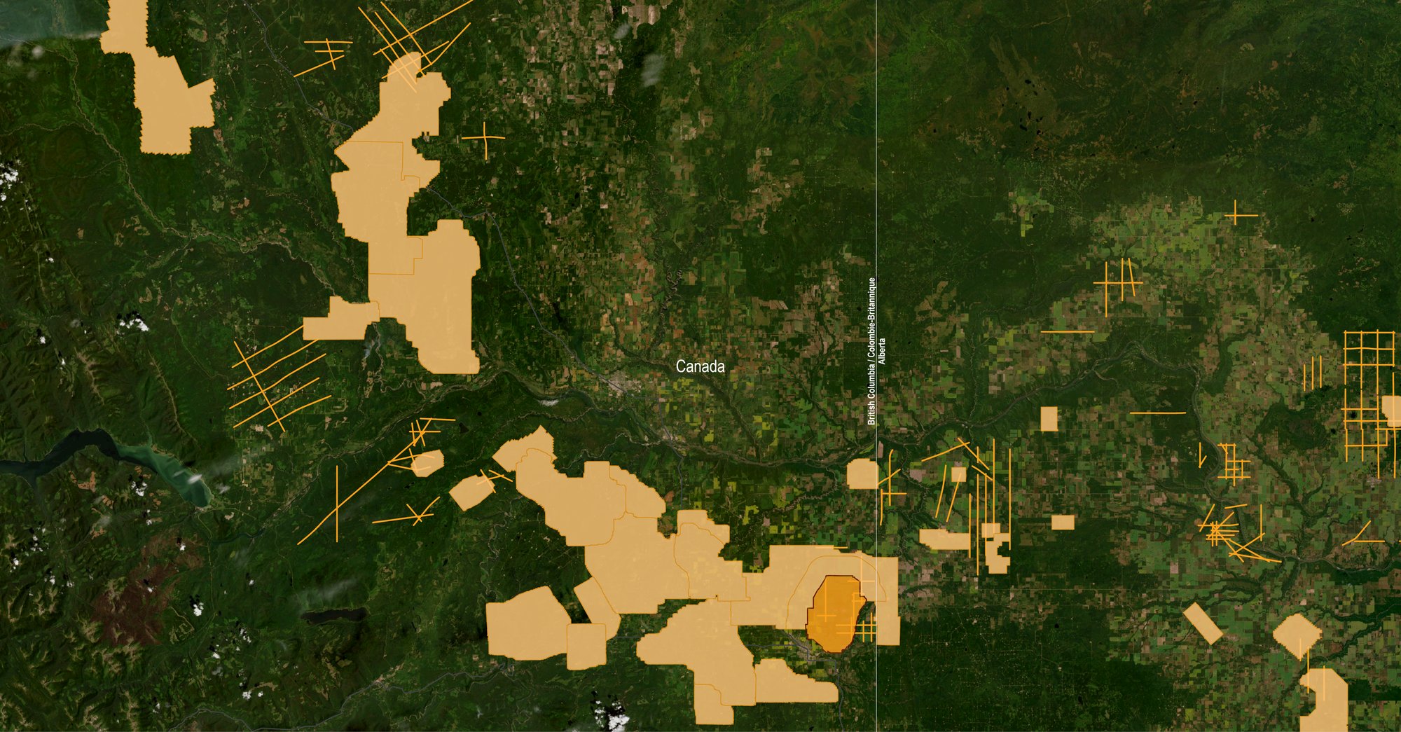
We provide comprehensive coverage utilizing a unique combination of onshore seismic and well data products that deliver valuable insights in the Montney and Duvernay geologic basins, across Alberta and British Columbia.

Our Data Coverage
British Columbia
- Over 6,000 km² of 3D
- 1,450 linear km of regional 2D
- Provides focused datasets in the Montney fairway and in the Liard Basin
- Strong relationship with First Nations
- Dawson Phase III 3D acquired in 2024/25
Alberta
- 11,000 km² of 3D
- 1,850 linear km of 2D
- Concentrated surveys clusters in the Montney and Duvernay fairways, along with Deep Basin coverage
Saskatchewan/Manitoba
- 1,400 km²of 3D
- 3300 linear km of 2D in SE Saskatchewan
- Reprocessed surveys for Neptune Merge 3D and Steelman 3D
Data Library
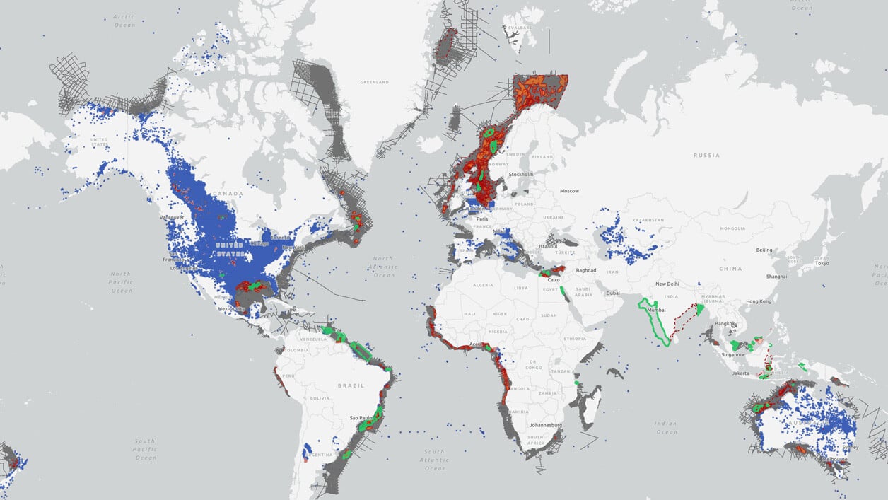
Search our interactive map portal to see the industry-leading subsurface data we offer in Canada. View available data types, projects and deliverables in your areas of interest.


New Acquisition – Dawson Phase III 3D
TGS holds a high-quality dataset in NE British Columbia, consisting of 138 km² that forms part of the larger 640 km² Dawson Merge 3D. The survey was acquired in 2024, with imaging completed in early 2025.
Well Data
TGS has the industry's largest well data library comprised of nearly 100 years of public and non-public sources. This data is processed, normalized, and validated to our industry-leading standards with the most up-to-date data available.
.png)
Other Subregions
-
U.S. Onshore
-
Gulf of Mexico
U.S. Onshore
U.S. Onshore
TGS provides industry-leading seismic data using an innovative mix of technologies and unmatched imaging capabilities. Through strategic partnerships, we offer a comprehensive collection of advanced acquisition technologies for enhanced reservoir delineation, characterization and monitoring.
Gulf of Mexico
Gulf of Mexico
We offer a wide variety of industry-leading energy data and insights that span the entire Gulf of Mexico, including ultra-long offset node 3D surveys, 2D regional surveys, well log data and more to support industry needs in this highly prospective area.

