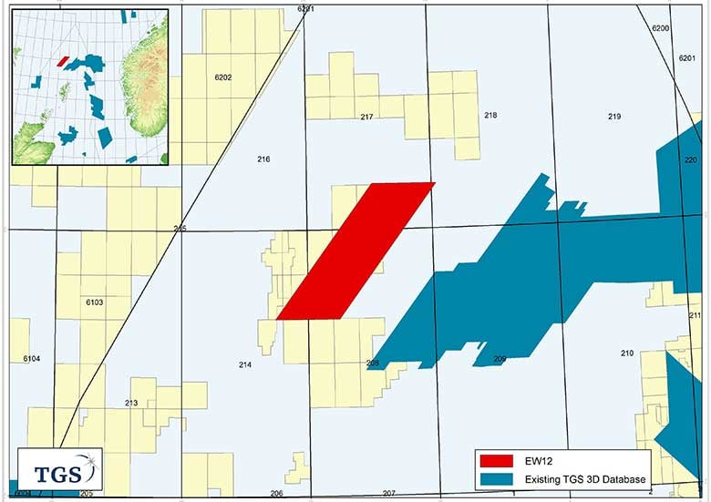
ASKER, NORWAY (22 August 2012) - TGS has commenced acquisition of a 3D multi-client survey covering 1,520 km2 in Quads 208 and 217 of the Faroe Shetland Basin on the UK Continental Shelf, West of Shetlands.
The Erlend West 2012 (EW12) survey is the industry's first 3D survey in this northern area and covers the western most margin of the Erlend Basin. The project builds on the improved imaging shown within the reprocessed TGS North Sea Renaissance 2D data. The EW12 3D survey covers both held acreage and open blocks, and expands on TGS' 3D coverage in this developing petroleum province.
The seismic data is being acquired by the M/V Polar Duchess. A fast track data volume will be available for delivery and licensing during Q1 2013.
The survey is supported by industry funding.